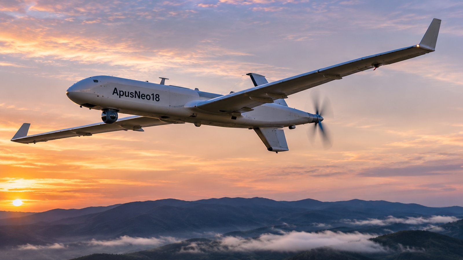
The ApusNeo18 stratospheric platform exceeded 100 flight hours during an operation conducted from Fuerteventura, Telespazio Ibérica and Canarias Stratoport reported. During the mission, it covered more than 3,000 kilometers, reached an altitude of 14,534 meters, and came within approximately 30 kilometers of Gran Canaria, a result the participating organizations presented as a European record for this type of operation.
The aircraft, developed by Mira Aerospace, a Space42 subsidiary, has an 18-meter wingspan, is 12 meters long, and weighs more than 45 kilograms. It took off on November 2 and landed on Saturday the 7th at the Canarias Stratoport for HAPS & UAS, located at the Fuerteventura Technology Park and operated by the island council. The released information does not specify the year or month corresponding to the landing date.
The mission was operated by the Advanced Center for Aerospace Technologies (CATEC) and required coordination with the organizations responsible for airspace management and safety to ensure the flight was compatible with regular air traffic in the Canary Islands. The operation coincided with Aerial Cities, an international event focused on advanced air mobility and uncrewed aircraft, held in Fuerteventura.
Data transmission from stations in Fuerteventura and Gran Canaria
The ApusNeo18 carried electro-optical and infrared cameras and transmitted images and data in real time to the Geo Information Center at the Fuerteventura Technology Park. For this phase of the campaign, an antenna located at Pico de las Nieves on Gran Canaria was added to the ground stations already operating at Morro Jable and at the Stratoport itself.
The campaign plans to progressively increase flight duration, altitude, and range. The next stated objective is to reach Gran Canaria and subsequently expand operations to other islands in the archipelago.
Stated applications for observation and emergency response
The participating organizations link these platforms to capabilities complementary to satellite, airborne, and ground-based observation and surveillance systems. Their extended persistence over an area and continuous transmission of information could be used, according to the information provided, for fire detection and tracking, emergency management, environmental protection, and infrastructure and territorial surveillance.
The campaign was coordinated by the Fuerteventura Technology Park, the Telespazio Ibérica-Pegasus Aero Group joint venture, Space42, and CATEC, as well as organizations connected with airspace operations, including the State Aviation Safety Agency, ENAIRE, SAERCO, and AENA. Sergio Díaz, manager of the Fuerteventura Technology Park, said the flight represents progress for the island’s ambitions in stratospheric technologies. Carlos Fernández de la Peña, CEO of Telespazio Ibérica, highlighted the potential to use such platforms to relay information considered critical in emergency response, environmental protection, and territorial surveillance scenarios.
Source: TEDAE
What do you think about this information? We invite you to leave a comment and share this article on your social media channels.
Comments must comply with ClaveDefensa’s participation rules. Failure to do so may result in removal.