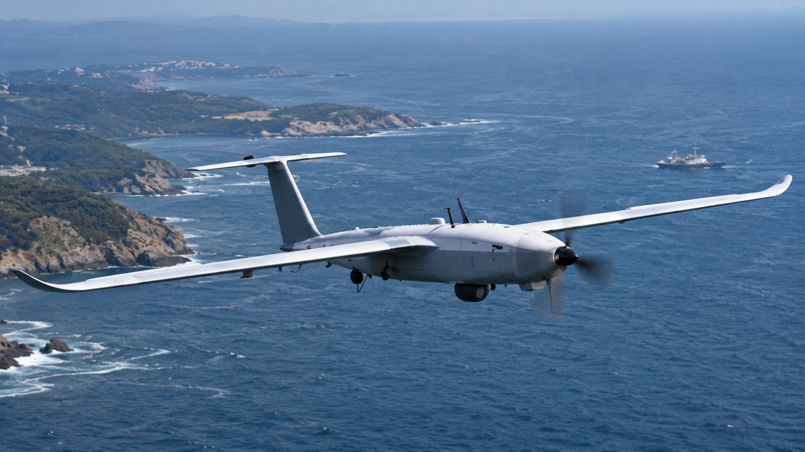
UAV Navigation, a Spanish company specializing in guidance, navigation and control solutions for unmanned vehicles, has developed the HES01, a heading-estimation system for unmanned aircraft systems. According to the company, the equipment is intended to improve navigation accuracy and facilitate drone landings, including recoveries on moving platforms.
The HES01 combines dual GNSS signals with RTK technology, an internal magnetometer, and a microelectromechanical systems (MEMS)-based inertial measurement unit. UAV Navigation says this configuration can estimate heading with accuracy of up to 0.4 degrees in both static and dynamic conditions, without requiring alignment maneuvers.
The system continuously compares magnetometer data with heading calculated from GNSS signals. According to the company, this process can identify discrepancies potentially caused by electromagnetic interference before they affect the unmanned aircraft’s navigation.
Recovery on Moving Platforms
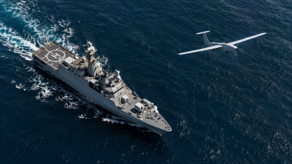
One planned application for the HES01 is drone landing on moving platforms, particularly in the maritime domain. The device can track a landing point moving with a ship or mothership, an operation in which the positional reference is constantly changing.
For this function, the system uses RTK corrections intended to provide centimeter-level relative positioning, while the inertial unit compensates for platform motion. The company says the system also accounts for pitch, roll, and heave associated with sea states to support recovery of unmanned aircraft aboard ships.
Integration With Visual Navigation
UAV Navigation maintains that the HES01 can provide a heading reference in environments where GNSS signals are degraded or denied. Under those conditions, it is intended to complement the company’s VNS01 visual-navigation system, which is designed to maintain navigation using visual references.
The equipment has been designed for integration with UAV Navigation’s Vector flight-control computers (FCCs) and the GHU-100 ground control station. Miguel Ángel de Frutos, CEO of UAV Navigation-Grupo Oesía, said the company continues to develop new solutions despite the heading-estimation and navigation capabilities it already attributes to its flight-control systems.
What do you think about this information? We invite you to leave a comment and share the article on your social media channels.
Comments must comply with ClaveDefensa’s participation rules. Failure to do so may result in removal.